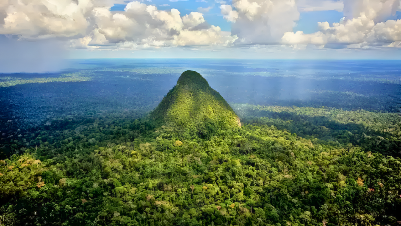
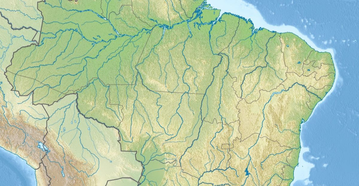
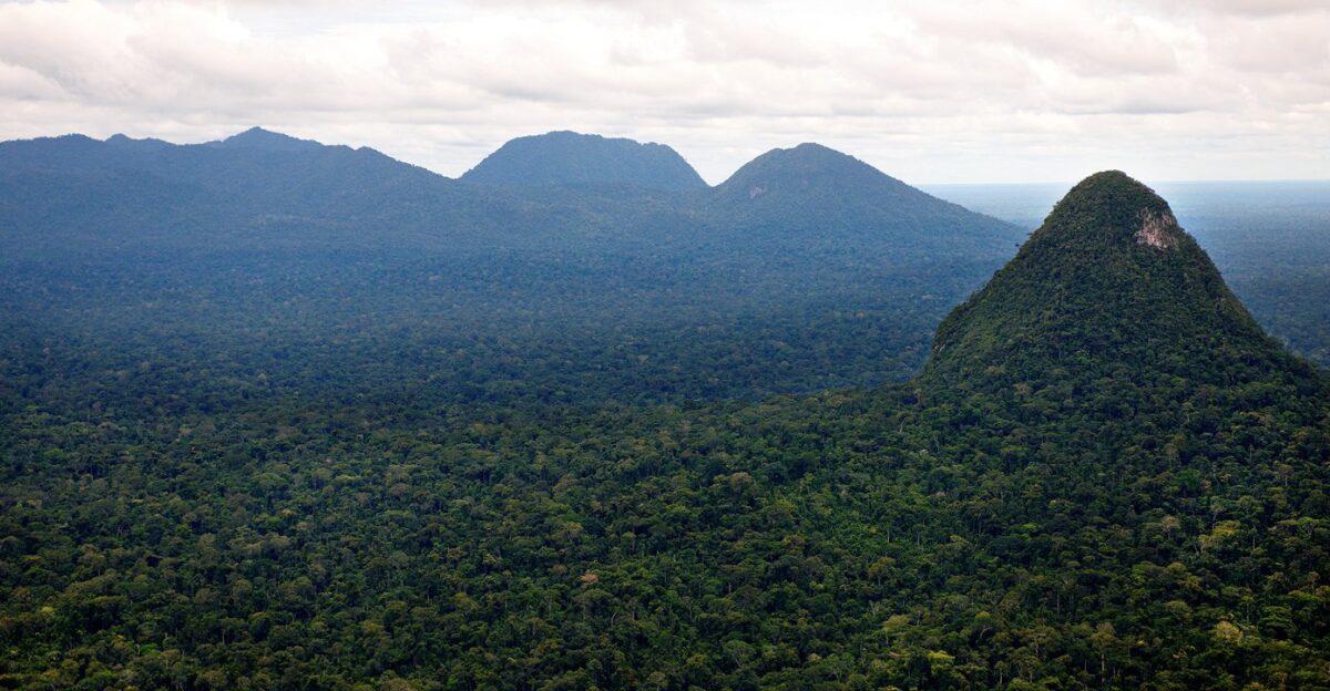
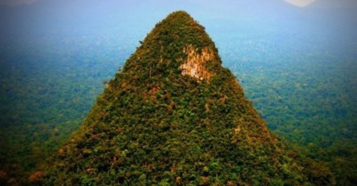
In the Amazon rainforest of Peru, Cerro El Cono stands out for its symmetric, pyramid-like shape.
It rises 1,310 feet above the jungle, and on a clear day, you can see it from the Andes, about 250 miles away.
Recent satellite images and science reports have made it world-famous, sparking debates and curiosity.
The area is very remote, protected by dense forest, and hard to reach.
Ancient Reverence
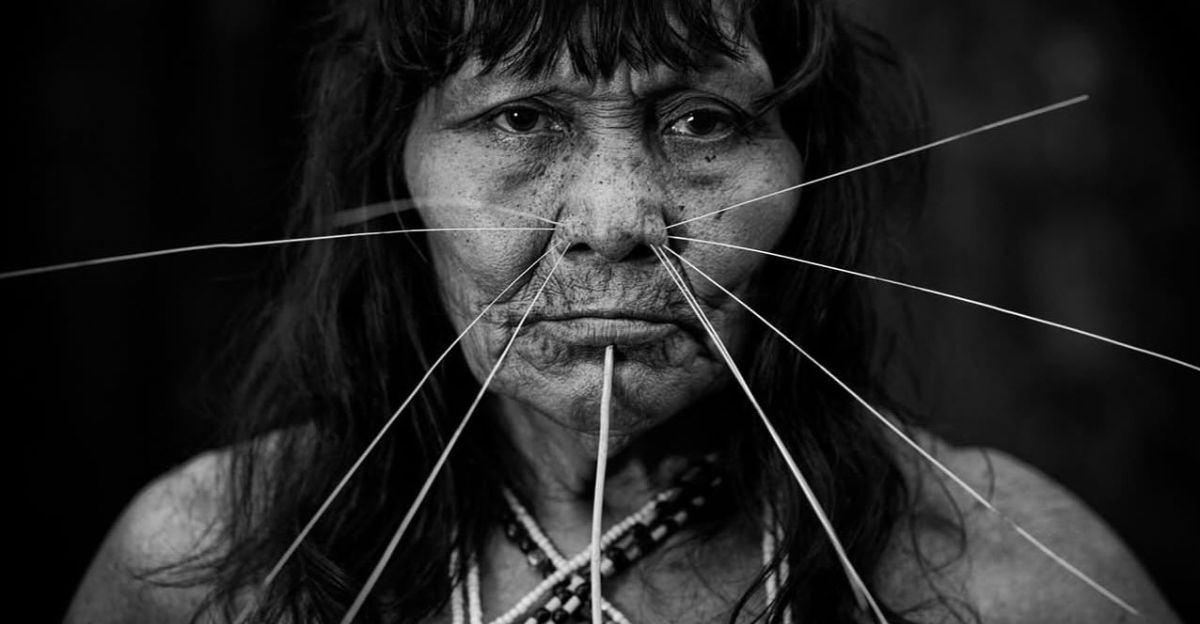
Local Indigenous people have revered Cerro El Cono for centuries, referring to it as a sacred “Apu,” or mountain spirit. “Apu” means “lord” in Quechua, a native language.
Tribes like the Matses and Isconahua pass down stories about the peak as a spiritual boundary and protector. Their beliefs kept outsiders away long before modern conservation rules.
The mountain is part of their culture, not just a physical landmark.
Scientific Consensus
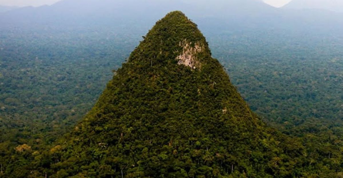
Most scientists believe Cerro El Cono is a natural formation, possibly an extinct volcano or a volcanic plug.
UNESCO states that some local mountains date back approximately 5 million years.
Studies also mention it could be 5 to 10 million years old. Volcanic rock erodes over time, shaping its cone.
Although some theories discuss human origins, experts agree that the formation is geological, not artificial.
Archaeological Void
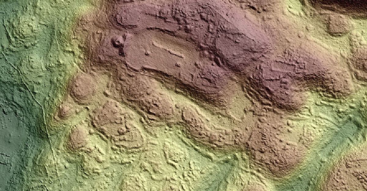
Although people online speculate about ancient pyramids, researchers have found no evidence that humans built Cerro El Cono.
There are no ruins, tools, or signs of construction. No formal digs have taken place, but drone surveys and scans revealed only untouched natural areas.
Reports suggest that there’s “no evidence” of human pyramids here; the scientific view is that this is a uniquely shaped natural landform.
Satellite Visibility Revealed
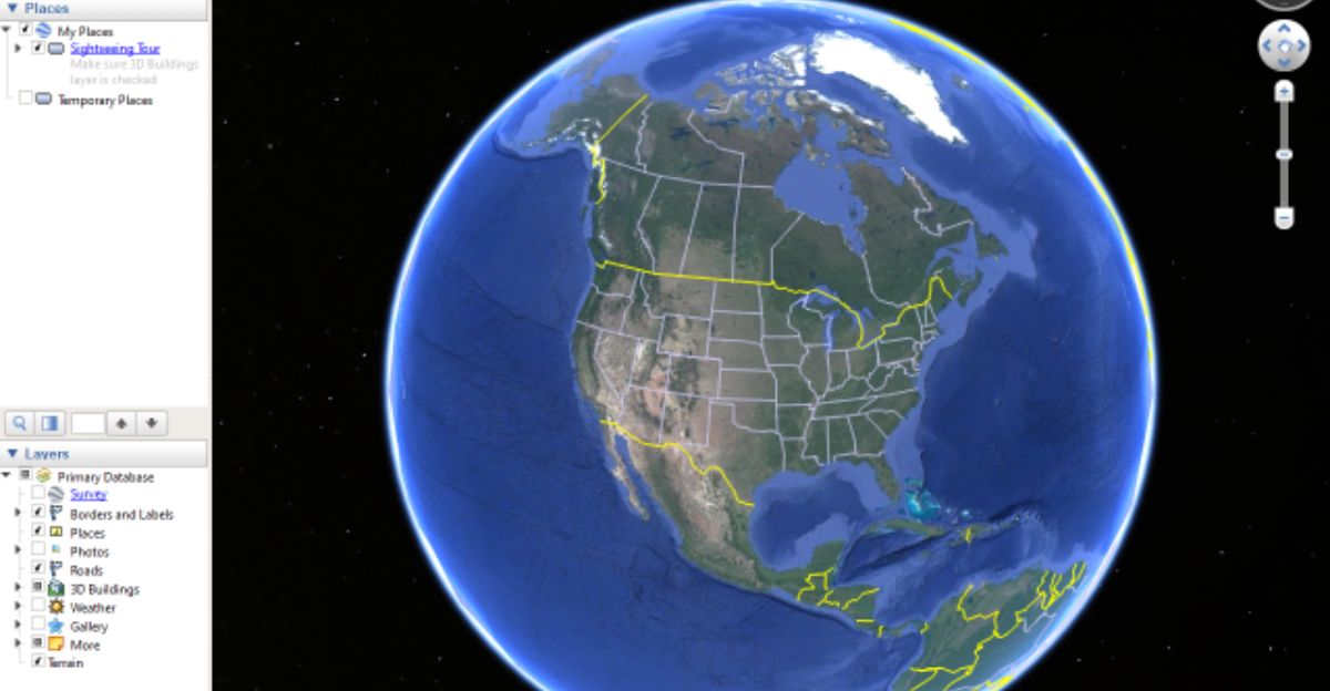
Cerro El Cono gained worldwide fame when its distinctive pyramid shape became visible on satellite maps, such as Google Earth.
Locals or scientists didn’t newly discover it—the mountain has always been there, and Indigenous people knew it.
What changed in 2025 is global interest, sparked by new images and news articles. The distinctive geometry, visible from the sky, drew attention and made headlines.
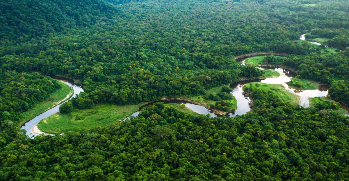
Park Under Siege
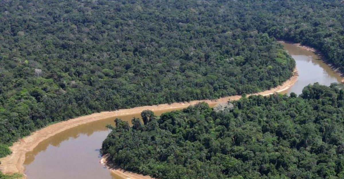
Sierra del Divisor National Park spans 1.3 million hectares and was established in 2015 to protect Cerro El Cono and its surrounding wildlife.
Despite efforts, illegal logging, mining, and coca growing still threaten the area.
Studies show that new roads and deforestation are occurring in areas previously considered safe zones.
The park is larger than Yellowstone, but crime still damages forests and habitats, posing a challenge to conservation work everywhere.
Human Cost
Protecting Sierra del Divisor and the Amazon rainforest is a perilous endeavor.
Illegal loggers and traffickers have killed dozens of Indigenous leaders and activists since 2010 as those defenders tried to stop forest destruction in park areas.
Communities like the Asháninka have suffered loss and violence.
The risk continues as illegal groups clash with defenders over land and resources.
Carbon Treasury

The park’s forests store vast amounts of carbon, helping to mitigate climate change. Some studies estimate hundreds of millions of tons are kept in trees here.
This is vital for Peru’s climate goals and keeps the planet healthier.
The dense jungle also provides clean water, food, and shelter for over 230,000 people and more than 20 Indigenous groups. Protecting the forest matters for everyone.
Biodiversity Hotspot
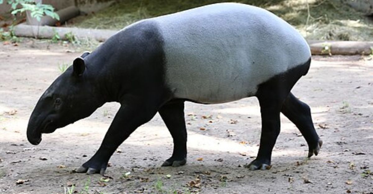
Sierra del Divisor shelters a diverse array of rare animals and plants.
Quick surveys in 2005 discovered dozens of new species, including mammals, fish, and birds that are endemic to this area.
Jaguars, armadillos, and tapirs roam the park, and scientists believe hundreds of fish species swim in its rivers—some unknown until the survey.
It’s one of Peru’s richest wildlife areas, crucial for conservation and scientific research.
Delayed Protection

It took years for the government to protect Sierra del Divisor fully.
Conservation groups had called it a priority by the 1990s, but it wasn’t until 2015 that national park status became official. Delays allowed more illegal logging and mining to occur in the meantime.
Indigenous leaders and activists urged faster action, worried that legal loopholes and bureaucracy were letting damage occur unchecked.
Community Surveillance

Indigenous people didn’t wait for the government—they used drones and smartphones to monitor forests and catch illegal loggers.
Communities shared data and maps, helping rangers act quickly. Their efforts stopped some deforestation and set a model for others.
These victories resulted from combining tradition with technology, demonstrating how local leadership can be as effective as official protection.
Enforcement Deficit
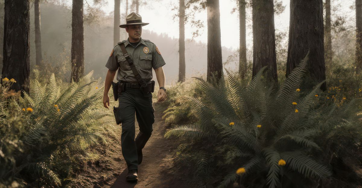
Even with satellite tools, park rangers are few for such a large area. Sierra del Divisor, with vast forests, has fewer than 60 rangers for its territory.
Illegal airstrips, used for trafficking, appear inside the park and nearby Indigenous lands. Limited funding and staff make enforcement a challenge.
Criminals exploit these weaknesses, sneaking into protected zones to log and mine.
Uncontacted Peoples
Parts of the park are home to tribes in voluntary isolation, like the Isconahua and Matsigenka. Over 300 people live this way, avoiding outside contact.
The government recognized their lands as a means to shelter them from threats—past forced contacts led to illness and tragedy.
Dams, logging, and outsiders continue to put them at risk, making the protection of their territory vital—not just for nature, but also for their culture.
Conservation Crossroads
The new attention on Cerro El Cono in 2025 could help protect Sierra del Divisor, but it also brings risks.
More tourists, adventurers, and researchers may come, some chasing myths about hidden pyramids. This can harm nature and uncontacted tribes unless managed carefully.
Conservationists hope the spotlight will help enforcement, but worry about the dangers of too much outside interest and access.
Geological Mystery
Scientists have not conducted any in-depth studies or excavations to determine precisely how Cerro El Cono formed.
Scientists believe it’s either an extinct volcano or a unique type of rock formed through erosion. Local spiritual beliefs and global curiosity keep the mystery alive.
The mountain seamlessly blends nature, culture, and science, representing something unique in Peru’s Amazon, regardless of its true origins.